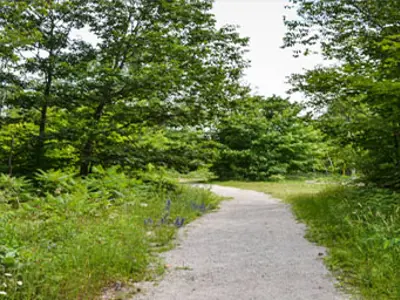
Devil’s Gap Trail

Local folklore has it that a farmer who was traveling the old colonization road with a wagon & a team of oxen became stuck. After many attempts to free the wagon the farmer gave up and went for help. When he returned, the wagon & oxen had disappeared without a trace. The gap in the rock has since been known as the Devil's Gap. Great photo opportunities include: beaver dams, expanses of Canadian Shield, vast marshland and open meadows.
Trail Information
- Trailhead is found 6.8 km west of Gravenhurst on Highway 169
- Turn left onto Snider's Bay Rd., travel 1.3 km to Muriel Cres
- The trailhead is located on the right
Accessibility Information
Trail Surface: uneven natural earth, barren rock, gravel roadbed
Trail Width: Avg. 2.0m, Min. 0.5m
Typical Grade: 1 - 5 % (50% of the trail is +/- 1%, 68m of the trail is between 5 - 10%)
Cumulative Change in Elevation (east to west)
Gain + 28.7m Loss - 22.9m
Contact Us
Parks and Trails
705-687-3412
parks-trails@gravenhurst.ca
3 - 5 Pineridge Gate,
Gravenhurst, ON P1P1Z3
